Epic Blog
King Salmon to SAFARI Camp can be a Stunning Flight
11.23.14
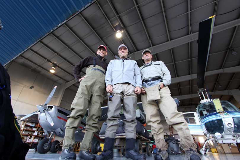
You’ve already arrived in King Salmon, Alaska. This small, rural town is the last semblance of civilization you’ll see over the next week while you’re on, hopefully, the greatest fishing adventure of your life. After you and your gear have been weighed, you’ll be broken up into various-sized groups by the pilots of our charter company, Egli Air Haul. You’ll either fly to camp on a fixed-wing bush plane, a helicopter, or perhaps both, depending on weather conditions.
(A note about flying-related weather: the photos and descriptions below depict the charter flight under the best of flying conditions: clear skies and calm winds. Perfect flying weather is generally the exception rather than the rule on the Alaska Peninsula.)
When you first depart south from King Salmon you fly over open, flat tundra on the Bering Sea side of the Alaska Peninsula. SAFARI camp lies on the other side of the Aleutian Mountain chain, known as the Pacific side of the Alaska Peninsula.
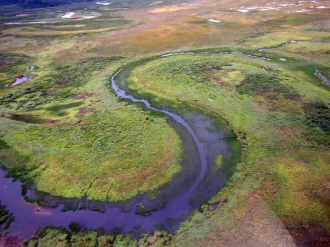
From the air the landscape first appears barren (it’s actually full of dozens of unique miniaturized plants), but what does stand out is the hundreds of no-name lakes and the numerous meandering, low-gradient streams and creeks. If you have some imagination, the water, the land and the many shades of green and brown can blur into some form of abstract art.
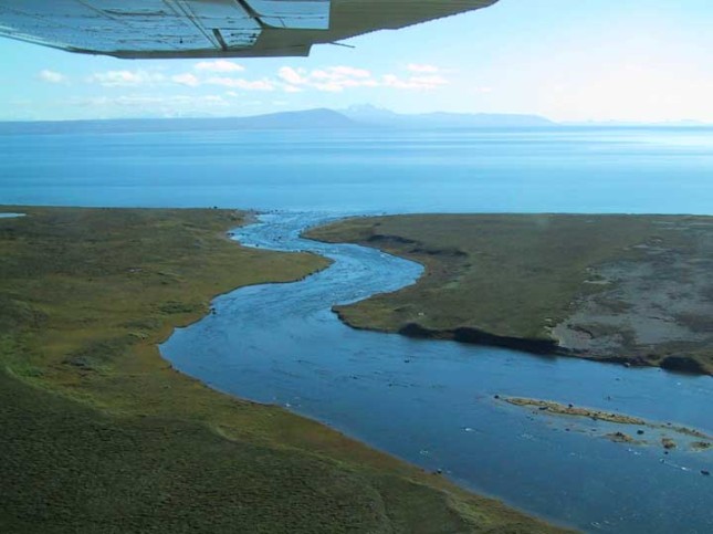
At about the 45 mile mark, you pass by the western shoreline of Alaska’s second largest body of fresh water (and allegedly the deepest), Becharof Lake. On the southeast shoreline (about 25 miles to your left) you’ll notice Mt. Peulik, a prominent and well-known volcano.
This region of the Alaska Peninsula is also famous for great fishing… and you’ve just flown past our OUTPOST camp; it’s tucked up against the foothills of the big mountains you see in the distance to the east.
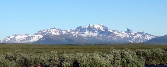
You may notice this jagged ridgeline in the far away distance. OUTPOST camp is at the foothills of these mountains.
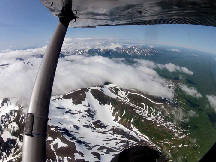
As you fly further south you begin to approach the Aleutian Mountain Range. This is where the smiles really begin to grow.
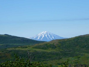
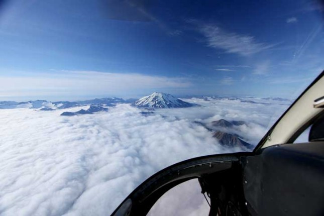
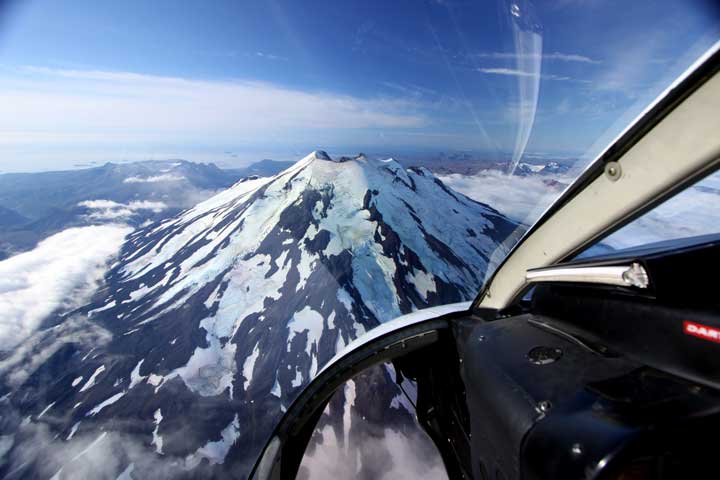
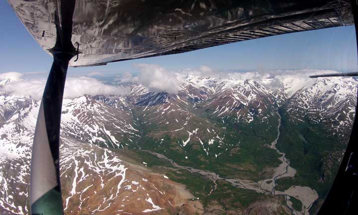
Around the 80 mile mark, you’ll likely be somewhere between Upper and Lower Ugashik Lakes. If the weather’s good, you’ll fly straight over the mountains to camp, often times within arms reach of Mt. Chiginagak, the prominent snow covered volcano you see in many of SAFARI camp’s landscape photos. There’s an active vent on the northeast flank of the mountain that regularly releases steam.
If there’s an overcast ceiling you’ll have to fly under the clouds and divert to the east through a mountain pass towards the Pacific coastline of the Alaska Peninsula, the less direct and longer route to camp. (The flight can get pretty bumpy on windy days as the wind funnels through the mountains.) Depending on which pass you take, you may even fly right past unnamed glaciers pouring out the sides of mountains.
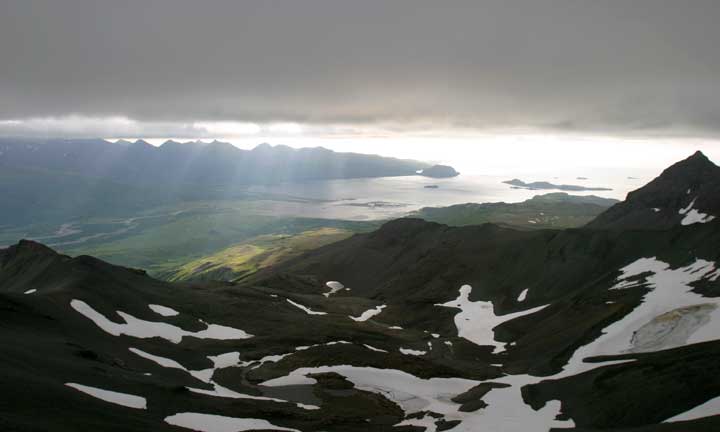
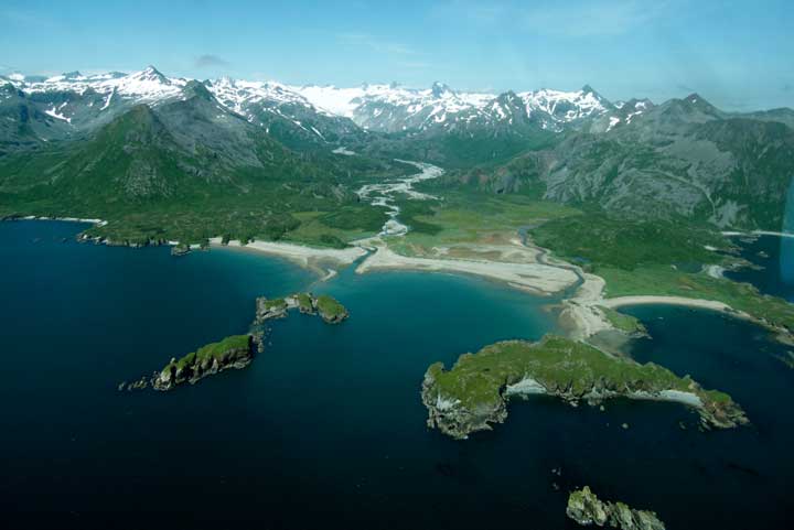
Once you pop out on the other side of the mountains, the rest of the flight down the coast is simply spectacular (in sunny or cloudy weather). You’ll notice there’s no roads, no cell phone towers and no power lines… just stunning, rugged coastline. This is usually when it hits – you really are on a remote Alaska fishing adventure, miles from civilization.
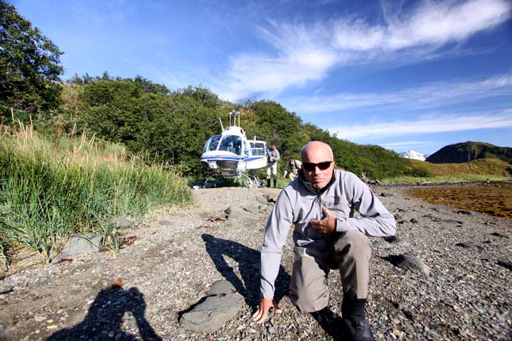
After another 35 or 40 miles, you’ll bank right and head into Nakalilok Bay, home sweet home for the next week of fishing, fun and adventure. If you traveled via fixed-wing bush plane, you’ll land on a gravel and sand “runway”. If you flew on the helicopter, it will set you down on a hand-built “heli pad”.
On these good weather flying days we often hear the flight to camp, by itself, was “already worth the trip.” If you had a bumpy flight, you’re probably happy just standing on firm ground. Either way, the scenic flight is absolutely unforgettable. And besides, you’re at camp now… it’s time break out your fly rod and catch a salmon!
Posted in All Posts, Photo, SAFARI

